
Reviewed: 22 August 2026
A false position on a bridge display can create real consequences far beyond the vessel. Global Navigation Satellite System interference can block a signal or cause a receiver to calculate the wrong position, speed or time, allowing uncertainty to pass into routing, arrival estimates, claims evidence, insurance exposure and the movement of cargo behind the voyage.
The first sign may appear on the bridge, but the consequences do not stay there.
A False Position Can Create Real Consequences
Jamming blocks or overwhelms a satellite signal, while spoofing deceives the receiver with a false one. Either can leave a vessel unable to rely on information that would normally appear routine. Connected systems may show conflicting positions, speeds or times; AIS tracks can appear implausible; and the vessel may seem to move somewhere it has never been.
In March 2025, the International Maritime Organization, International Telecommunication Union and International Civil Aviation Organization raised concern about increasing GNSS jamming and spoofing. They warned that ships and ports depend on GNSS for position, movement and precise time, including systems connected with navigation and distress communications. International Maritime Organization
For those on board, unreliable positioning creates an immediate navigation problem. For the organisations depending on the voyage, it creates uncertainty about what happens next and whether the evidence on which later decisions rely can be trusted.
Risk Concentrates Where Trade Has Less Room to Manoeuvre
GNSS interference is repeatedly reported around waters already affected by conflict, military activity or political tension, including the Baltic and Black Seas, the Eastern Mediterranean, the Red Sea, the Gulf and the Strait of Hormuz.
These are also routes through which energy, commodities and manufactured goods move between markets. Several contain narrow passages, busy approaches or ports where there is little room for doubt about a vessel's position. Interference can therefore combine with military activity, navigation warnings, port disruption, diversions and higher insurance costs rather than remaining an isolated technical event.
A regional report only establishes that interference exists somewhere nearby. The decision depends on whether the affected area overlaps with a route, port call or concentration of exposure that matters to the organisation concerned.
See Where the Signal Is Breaking Down
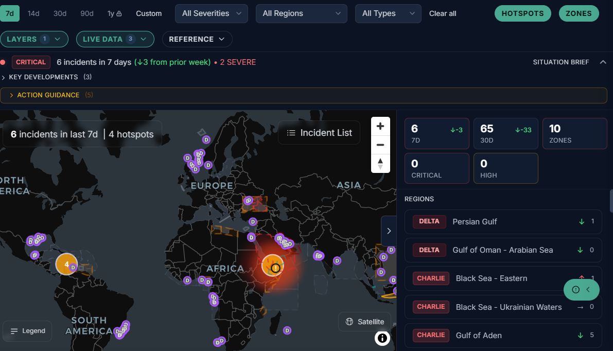
Verihelm shows reported GPS and GNSS interference as dated degradation zones on the Situation Map. Users can see whether the displayed interference is moderate, high or severe, along with the peak and average reported interference ratios, the number of affected map cells and the date of the displayed data.
This makes an otherwise invisible threat easier to locate and compare. A broad warning may identify interference across a region, while the map shows where the reported degradation is concentrated and whether it approaches a route, port or area the user is watching.
The date remains attached to the picture because a strong reading from an older period does not establish what is happening now. Users can see how recent the displayed information is before deciding how much weight to place on it.
One Disrupted Signal Can Change Several Decisions
A vessel team needs to judge whether the position shown by its systems can be trusted. An insurer may need to understand whether navigational uncertainty changes the exposure around a voyage or the evidence available after an incident. A charterer may be concerned with delay, deviation or difficulty reaching a port, while a supply-chain team may be looking further ahead to inventory or production.
Financiers and traders can face another version of the same question when cargo, infrastructure or counterparties are concentrated around an affected route. These are not separate threats created by a map layer, but different consequences of uncertainty in the same maritime flow.
Interference Is More Useful in Context
A GNSS degradation zone does not explain why the interference is happening or what it will change. It becomes more useful when viewed alongside incidents, navigation warnings and changing threats in the same area.
Verihelm brings those layers together on the Situation Map so that users can see whether interference appears in isolation or near other developments that may alter the picture. Dryad Global's intelligence team applies judgement where signals are ambiguous, several developments may be connected or the possible consequence needs closer attention.
For the wider business exposure behind cyber and digital-system disruption, read Maritime Cyber Defence Starts with What the Business Cannot Afford to Lose.
The map shows where the signal is breaking down. The assessment considers what that disruption could mean for the vessel, the voyage and the trade flow behind it.
This article provides general information and analysis. It is not legal advice or a vessel-specific risk assessment.